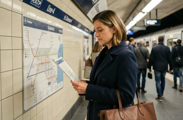
You arrive at Gare du Nord with a suitcase and need to get to Montparnasse for a TGV in forty minutes. Or you leave a museum near Odéon and want to head up towards Barbès without changing lines.
In both cases, Metro line 4 is the direct route—as long as you know which direction to take and where to get off. The line runs all the way from Porte de Clignancourt in the north to Bagneux-Lucie Aubrac in the south, crossing Paris from end to end.
Useful connections on Metro line 4
Line 4 intersects with almost the entire Paris network. Of its 29 stations, around ten offer at least one connection to another metro line or an RER line. In practice, you don’t need to know them all: three or four key hubs are enough for most journeys.
Gare du Nord is the essential stop for reaching Charles-de-Gaulle Airport via RER B. Châtelet is the network’s busiest interchange, with connections to numerous metro and RER lines.
Montparnasse-Bienvenüe provides access to the SNCF station and several metro lines. Denfert-Rochereau connects to RER B towards the south.
To view the simplified map of Paris Metro line 4 with connections shown station by station, save time by identifying these hubs before heading down to the platform.
- Gare du Nord: access to CDG Airport via RER B and long-distance trains heading north
- Châtelet: central hub, with connections to numerous metro and RER lines
- Montparnasse-Bienvenüe: SNCF station for western and southwestern routes, plus several metro lines
- Denfert-Rochereau: RER B towards the south, plus a metro connection
- Barbès-Rochechouart: connection to the network’s northern arc

Direction of travel and tips to avoid going the wrong way
Line 4 has two termini. Take the train towards Porte de Clignancourt to head north, or towards Bagneux-Lucie Aubrac to travel south. On the platforms, the electronic sign displays the terminus, not the intermediate stations. If you’re looking for Saint-Germain-des-Prés, check for trains towards Bagneux-Lucie Aubrac, as the station is in the southern half of the route.
A simple landmark is the Seine. Line 4 crosses it between Châtelet (right bank) and Cité (Île de la Cité), then between Cité and Saint-Michel (left bank). Coming from the north, everything before Châtelet is on the right bank. Everything after Saint-Michel is on the left bank.
Nearby stations that are often confused
Château Rouge and Château d’Eau are not on the same line. Château Rouge is on line 4 (in the 18th arrondissement), and Château d’Eau is also on line 4—but it doesn’t exist: the confusion comes from Château d’Eau station, which is on line 4… no, it’s only accessible from line 4 via a connection at Strasbourg-Saint-Denis.
In short, Château Rouge is indeed on line 4; Château d’Eau is on the neighboring line 4, and line 4 only serves Château Rouge.
Another common pitfall: Mairie de Montrouge and Bagneux-Lucie Aubrac are two separate stations at the southern end of the line. The extension to Bagneux extended the line beyond Mairie de Montrouge.
Line 4 schedules and frequency: what to expect in practice
Line 4 runs from early morning until late evening, with extended service on Friday and Saturday nights. The time between trains varies depending on the time of day and day of the week.
These schedules apply under normal operating conditions. During engineering works or service disruptions, trains run less frequently, and some stations may close temporarily. Static maps (PDFs and station posters) do not show real-time service information.
Check service updates before you leave
The line map helps you find stations and connections, but it is no substitute for checking real-time service updates. The official Île-de-France Mobilités or RATP apps report delays, station closures and replacement buses. Taking thirty seconds to check service status before entering the station can prevent you from getting stuck halfway through your journey with no clear alternative.

Accessibility at line 4 stations: an important consideration
A simplified map can make it seem as though all stations are equally accessible. In reality, not all stations have lifts or step-free access. For wheelchair users, people with strollers or anyone carrying a bulky suitcase, some stations have several flights of stairs and no mechanical alternative.
The newest stations on the southern extension (Barbara, Bagneux-Lucie Aubrac) were designed to meet current accessibility standards. Historic stations in central Paris, built in the early 20th century, vary in layout. Before travelling with mobility requirements, check station by station whether a lift or escalator is available and operating that day.
Line 4 connects with more other lines than almost any other line on the Paris network. This wealth of connections makes it versatile, but you’ll need to get your bearings to use it without stress. Identify three or four key stations, know which direction to travel in, and check service updates before setting off—this covers most situations.